
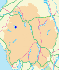
Rannerdale Knotts
Height 1165 feet/355metres
Grid Reference NY 167 182
Area
Birkett - North Western Fells, Grasmoor Group - Top No. 490
Wainwright - The North Western Fells
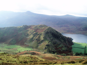
Rannerdale Knotts from Lad Hows.
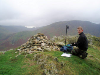
Robert at the summit cairn on Rannerdale Knotts,
his 50th Birkett.
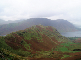
Rannerdale Knotts from Whiteless Pike.
Buttermere - Rannerdale Knotts - Buttermere
Hause Point car park - Rannerdale Knotts - Rannerdale - Hause Point car park
Cinderdale car park - Lad Hows (126) - Grasmoor (127) - Crag Hill (128) - Eel Crag (129) - Crag Hill - Wandope (130) - Thirdgill Head Man (131) - Whiteless Pike (132) - Rannerdale Knotts (133) - Cinderdale car park
All pictures copyright © Peak Walker 2021
©Crown copyright. All rights reserved. Licence number 100045184.